The Choices Shaping Cumberland Island

The Choices Shaping Cumberland Island
On National Public Lands Day, Georgia’s largest barrier island reminds us that protecting a place is an ongoing choice.
The ferry leaves St. Marys, and the mainland begins to loosen its hold.
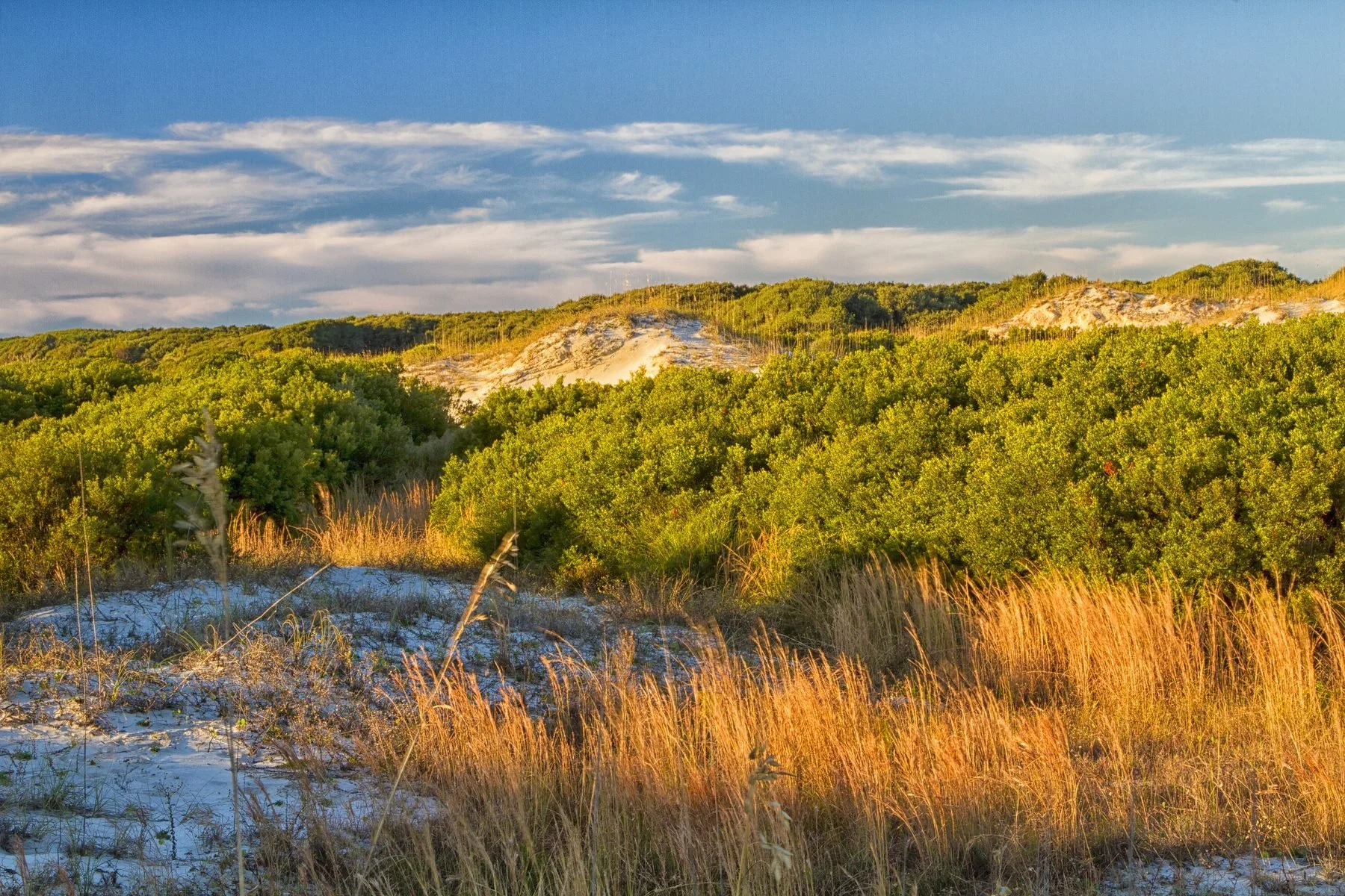
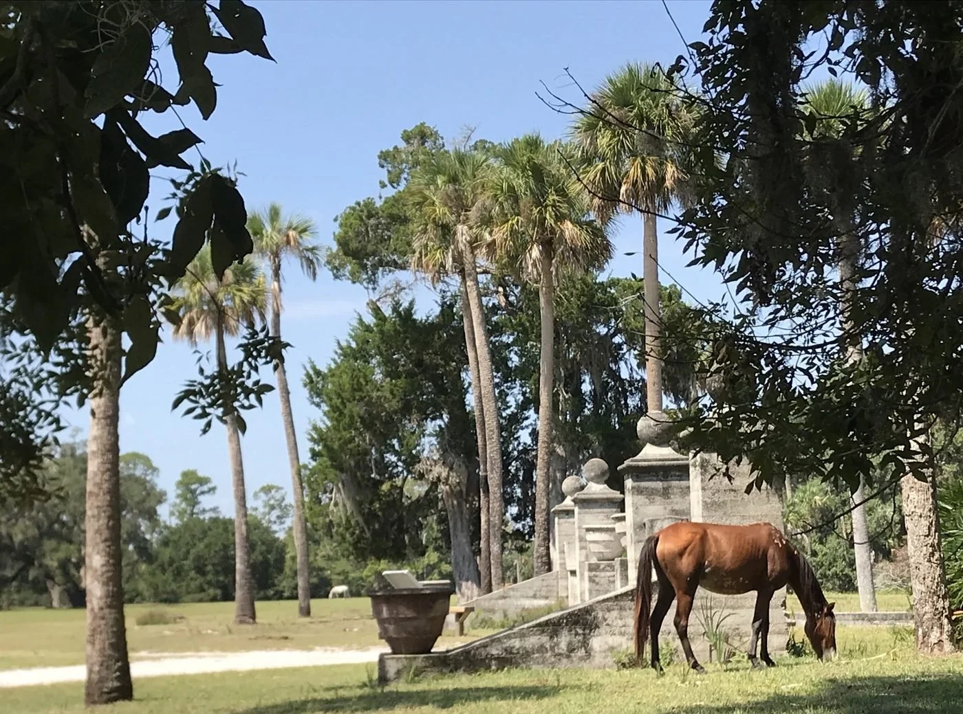
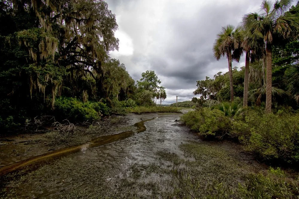
On Cumberland Island, roads give way to trails through maritime forest. Live oaks spread above the path, and beyond the dunes, miles of beach run without a house or dock interrupting the shoreline. The remains of Dungeness tell one part of the island’s human story; the First African Baptist Church tells another. Cumberland rewards the time it takes to get there.
That sense of distance can make Cumberland feel settled and secure. This National Public Lands Day, September 26, its future is the subject of two consequential decisions. One has been made. The other is open for public comment.
A plan for more visitors
In August, the National Park Service finalized a new Visitor Use Management Plan for Cumberland Island. It will guide decisions about ferry service, camping, recreation, visitor safety, and protection of natural and cultural resources. The agency concluded that implementing the plan would have no significant impact on the human or natural environment. That decision completes the plan’s environmental review, though changes under it will be put into practice over time.
The question now is how expanded opportunities to experience Cumberland will work on an island whose quiet, habitats, and historic places are part of the experience itself. The park says its approach can be adjusted as visitation changes. The outcome will be measured in what visitors encounter on the ground, and in what remains protected around them.
A land exchange still under review
A separate proposal concerns who owns pieces of the island. The Park Service is considering two exchanges with private landowners. Under the proposal, it would acquire privately owned parcels in ecologically sensitive areas and transfer other federal land to the owners. Conservation easements on the transferred land would permanently limit development and prohibit subdivision, according to the agency.
The Park Service presents the exchanges as a way to protect sensitive places and make scattered ownership easier to manage. Conservation advocates have raised concerns about the development that could be permitted on land leaving public ownership and whether the exchanges fit Congress’s direction to preserve Cumberland in its “primitive state.” In March, Camden County commissioners declined to endorse the proposed swaps while questions remained unanswered.
No land exchange has been finalized. An environmental assessment is available for review, and the public comment period runs through October 16, 2026. The distinction matters: an agreement to study an exchange is not the outcome of that study.
Cumberland faces slower changes, too. The Park Service monitors its shoreline because storms and shifting coasts can alter habitats and threaten historic resources and facilities. Its dunes shelter nesting loggerhead sea turtles and migrating shorebirds. Protecting the island means tending both to decisions people make and to a coastline that never stands still.
National Public Lands Day celebrates the people who care for shared places. At Cumberland, care can begin with a visit, a volunteer’s work, or the quieter act of reading a proposal closely enough to offer a useful comment. The island’s future is taking shape now. What generations find when they step off the ferry will depend, in part, on the choices made while there is still time to weigh them.
Read the land exchange assessment and comment by October 16 →
Cumberland Island National Seashore
St. Marys, Georgia
Mainland Visitor Center · 113 St. Marys St., St. Marys, GA 31558
Join In
Show us what you see, who you know, and what matters.